T-Minus 15 Days

So, I find myself just 15 days out from the start of this thru-hike.  Here is a status update.

Resupply Strategy

I’ve narrowed down my hike into four resupply stops.  The first stop will be in Two Harbors.  Unfortunately, I will most likely be getting in on a Saturday.  From a resupply point of view, that is not a problem.  Two Harbors is the home of the SHT headquarters and they accept resupply packages for thru-hikers.  The problem is that there is no place to stay in Two Harbors.  Everything is booked!  On top of that, it is a 6.5 mile road walk into town.

I asked about some options to deal with this situation on the SHT Facebook page, but I did not receive an answer.  So, what I will do is hike into the Silver Creek campsite the night before, get up early, do my chores and resupply and start hiking again.  Hopefully I can get a shower and some laundry done there.

My second resupply point will be in Finland.  I’ve already contacted the Clare Nelson Recreation Center, and they are happy to receive my resupply package.

My third stop will be in Tofte.  There I will send my resupply to the Sawtooth Outfitters.

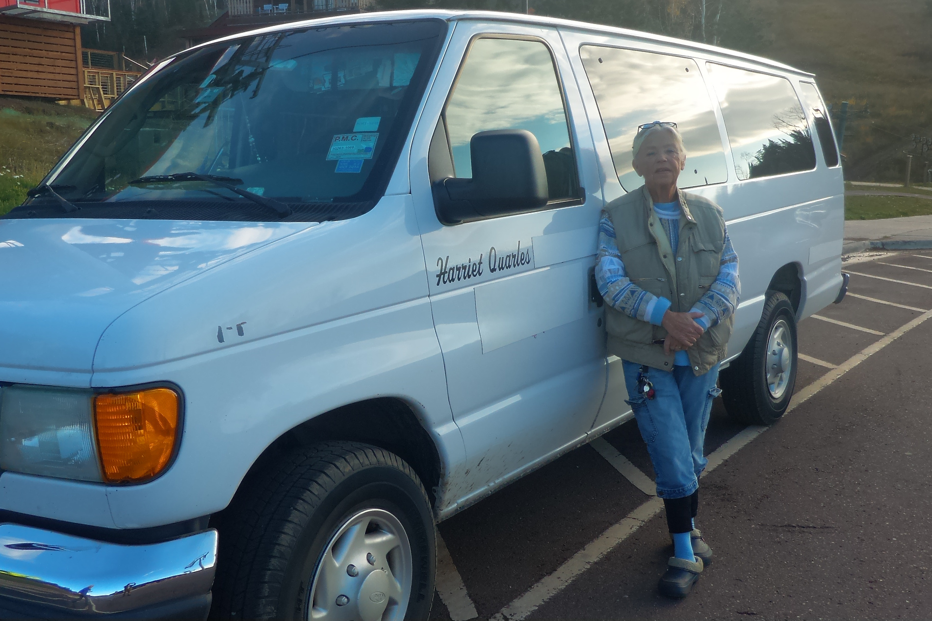
My last stop will be in Grand Marais.  That one is easy.  It will be stored in my car.

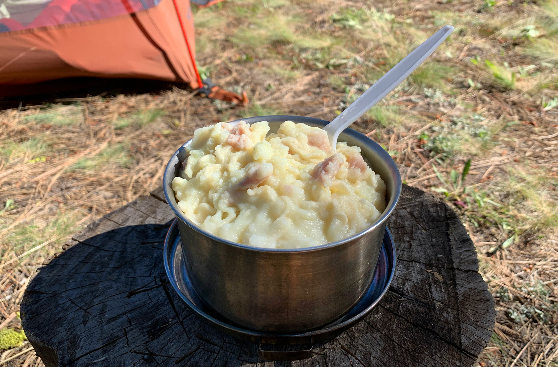
With that settled, it is just a matter of buying food, packing it up and shipping the boxes.  There are enough towns on this trip that I can pick up some extra food if I need it.  The food in my pack will be the motivation to hike the miles.

Training

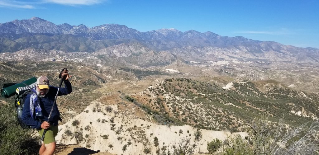
From a training perspective, I’ve increased the weight of my pack to 30 pounds.  I’m able to keep a good pace and I do not have any soreness.  I did a tweleve mile hike and went on to do errands afterwards, so I should be good.

Equipment

I had hoped to cut my base weight down another pound from where I was went I hiked the PCT (13.8 pounds).  It turns out that doing that was much harder than I thought. My PCT pack was extremely well optimized.  The only way I have any hope of doing that is to throw some serious money at it.  I would need to replace my pack and my sleep system.  That is some of the most expensive parts of my kit.  So, in the end, I’m taking what I took on the PCT.

With that, I’m ready to go.


Trimming Gear Weight

As my August 3rd. SHT hike draws near, it is time to start looking at my kit and see if I can reduce some weight.  I found an error in my LighterPack.com tool.  I had accidentally set my down jacket  quantity to zero, so my 13.7 pounds was off by 8.5 ounces.  My actual kit was 14.2 pounds.

Using Grand Marias as my target, I can expect an average high of 72 degrees and an average low of 52 degrees.  Perfect hiking weather!  My PCT kit handled a low of 20 degrees.  I probably do not need to worry about that for this hike.

Here are some items I do not need to take or have replaced.

Thermometer (0.6 oz)
I carred a small thermometer on my backpack so I would know the actual temperature.  This was important because my Sawyer Squeeze cannot handle the water inside freezing.  I do not need to worry about this for this hike, I do not need to take it.

Down Jacket (8.5 oz)
I should not need to worry about freezing temperatures, so my base layers and my 20 degree sleeping quilt should easy keep me warm at night.

Personal Papers (1.7 oz)
I will not be travelling into Canada, nor do I need permits to hike the PCT, so that saves 1.7 ounces of laminated paperwork.

3-Liter Platypus Bladder (1.9 oz)
I do not need the capacity to carry nine liters of water.  I only used the 3-Liter bladder twice on the PCT.  I will have two 1-liter Smart Water bottles and a 2-Liter Platypus Bladder which should give me plenty of capacity.  The 2-Liter bladder I use for dirty water collection.

Cell Phone (0.6 oz)
I have a new cell phone.  My Pixel 4a 5G weighs a whopping .6 ounces less than the Samsung Note 8 I had on the PCT.

That is it.  I cut my weight from 14.2 to 13.4 pounds.  To make some real weight savings, I would have to throw money at the problem.  My shelter is about as light as you can get.  The easiest choice is to replace my ULA Catalyst to a lighter model, but it is not worth it for a two-to-three week hike.  It is something I will have to consider for when I hike the AT.

May 4th Update

I have a couple of updates this week as I plan this thru-hike.

Refined the Travel Plan

So, my original plan was to hike north until I reached Grand Marais.  From there, I would take a shuttle to near the Northern Terminus and hike back.  That required me to park my car near the Southern Terminus, probably the Martin Street trailhead, for fifteen to eighteen days.  Doing some research, leaving my car for that long is a bit iffy.  Also, I didn’t know what shuttle service I was going to use.
Part of my research for hiking the PCT was to read trail journals of similar aged hikers.  It just makes sense to learn from the successes and failures of those I follow.  On the PCT, there are a ton of hiking journals.  Like the Ice Age Trail, the number of Superior Hiking Trail journals are much more limited.  However, Trail Journals has a few.  I read the journal of a 2020 hiker with the trail name of High Loon.
(If High Loon is reading this, thank you for your wisdom.)
He wrote in his log on the first day of his hike the following:
I drove up to Grand Marais from Ohio and parked my vehicle with Harriet Quarles, who’s been driving shuttles along this trail for twenty years.  Harriet’s a real gem, with a wry smile and a twinkle in her eyes.  She’s irreverent and hilarious.  I liked her immediately.
At Harriet’s kind and generous suggestion, I took an Arrowhead Transit bus from Grand Marais to Duluth.  Then I took a Duluth city bus to a stop within a mile of the Martin Road trailhead, the southern terminus of my hike.  The cost of these two bus rides?  Zero!!  I told you she was a gem.

I had read a number of posts from Harriet on the SHT Facebook group, so I reached out to her.  I talked with her that evening and everything High Loon said was the same with one exception.  The Arrowhead Transit bus is no longer free.  It is $10.

With that I have refined my travel plan.  Instead of driving to Duluth, I will drive to Grand Marais on a Monday and park my car at Harriet’s place.  I’ll spend the night in Grand Marais and take the Arrowhead Transit bus back to Duluth.  I’ll hike north towards Grand Marais.  When I am getting close, I’ll text Harriet and get on her schedule.  She will take me to the Northern Terminus and I will hike back to Grand Marais.

The only thing left that I have to do is decide which Monday I’m going and buy a ticket.

Gear Updates

I will be writing a gear update in the future, but there are a couple of pieces from my PCT hike that I will need to replace.  I’ve starting doing that.
The first piece of gear I needed to replace was my gaiters.  My black Dirty Girl gaiters took a beating on the PCT.  The held up wonderfully, but they are not ready for another thru-hike.  They have some holes and the Velcro is no longer as adhesive as it used to be.  So, I ordered a new set.  They have a wide range of colors and patterns.  I actively looked to see if I wanted a more exotic pair.  Ultimately, I chose to be boring and by a new black pair.  Ticks are a major issue on this trail, so I will treat them with Permethrin.
I will be wearing a new hiking shirt I purchased at Costco.  That will also be treated with Permethrin.
Most likely, I will be taking my fleece sweatshirt instead of my Ghost Whisperer fleece jacket.  I expect to be walking in the rain and fleece does a much better job of keeping you warm when it is wet.

Training

I’m up to 25 pounds on my backpack, and I have been completing 8-to-9 mile hikes with no issues or blisters.  I’d like to loose some more of this COVID weight before I leave, but if I’m not able to do so, I should be fine.  Once I’m on trail and hiking all day, the weight will melt off.
What is important is that my feet are prepared.  No blisters means a happy hike.

Resupply

I have purchased ten freeze dried meals.  I have a couple left over from the PCT.  I should be good to go there.

Conclusion

I’m on course for a good thru-hike.  Waiting is a bit of a drag, so I’m reading my PCT blog and following other hikers.  I discovered that Fish Tank is attempting the CDT.  That is pretty bold.  I wish him well.

Resupply Strategy

I have narrowed down the hike so that I will be starting at Martin Street and hiking north.  When I get to Grand Marais I will be transported to the Northern Terminus.  From there, I will hike back to Grand Marais.  Exactly how I’ll arrange transportation is yet to be determined.  Once I return to Grand Marais, my friend Terry will pick me up and take me to my car.  The advantage to this route is that I will have the easier Duluth to Two Harbors section to get my hiking legs in order.

So, with that all figured out, it is time to put together a resupply plan.  Fortunately, this will be way easier than the PCT.

For the PCT, I planned out thirty-two resupply points!  That process was extremely complex.  On the PCT, there were two types of resupply points, full-service and send a box.  At full service towns I would buy my food at the local grocery store.  If I had a place I needed to send a box, I would do it from there.  To pull this all off, I researched each and every single town to determine what services were available.  I used that strategy for all of California and Oregon.

Washington was a completely different beast.  None of the town stops had a grocery store.  Instead, my daughter served as my Quartermaster and shipped boxes from home.  I had resupply down to a science before I reached Washington.  I could easily calculate how long it would take me to complete a section.  My daughter and I worked out the plan by phone and made our notes using Google Sheets.

The SHT is much simpler.  I have six main resupply towns.  All but one are close to the trail, and the one that is not is still easy walking distance.  Food will be the heaviest item I will be carrying, so the more stops I make actually means the faster I go.

Here is the trick about resupplying.  Sending a box to the Post Office is the easiest.  All trail Post Offices know how to help hikers.  The only issue is that the Post Office needs to be open for you to resupply.  If you miscalculate you’ll be delayed for a couple of days.

Another option is local businesses.  Some businesses support hikers by accepting packages, sometimes for a fee.  The advantage is that local businesses have better hours.  Paying $10 for someone to hold your package is much cheaper than a night in a hotel.  I had great success using local business on the PCT.  It is a much more flexible option.

Another choice is to completely forego sending boxes and visit the local grocery store.  Hikers have created a menagerie of exotic hiker recipes like the Ramen Bomb.  I’ve tried eating like that, but all I get is heartburn.  The local grocery is a much better choice for fresh foods, however.

I’ve decided to split things up a bit.  I will send three resupply boxes.  In those boxes I will have my freeze dried dinners and a couple of items that I can only get at home.  The dinners are light, so I do not mind carrying a couple of extra days of them.  I’ll then shop locally for breakfast and lunch.

I’ve determined the best locations will be Two Harbors, Finland and Grand Marais.  I’ll contact local businesses on the SHT website and see if they are accepting packages.  I’m also ordering my dinners.  They are much cheaper when you buy them in bulk.

It is good to have a plan.

Training and Preparation

When I first started backpacking, I was young and training was not an issue.  As an older thru-hiker, pre-hike training is a requirement.  Unfortunately, my life and my career requires sitting too much.  As I followed older hikers hiking the PCT, I learned that the only real way to train to hike 10-to-12 hours a day is to actually hike 10-to-12 hours a day.  Sadly, that is not realistic.  I still have responsibilities.

On top of that, living in the Midwest, there is no real elevations.  Yes, you can huff-and-puff up a hill, but it is nothing like a twenty mile, 5,000 foot climb, from Swarthout Canyon to Wrightwood on the PCT carrying five-to-six liters as you bake in a 100+ degree sun.  Nothing can prepare you for that.

The SHT will not have anything like this, but it is still 38,000 feet of elevation change over 15-to-20 days.  That is roughly 3.8 base camp to the peak of Mount Everest over a short period of time.  That will be some serious work and I will not have the advantage of hiker legs.

So, I have some work to do.  While every trail here is flat, that doesn’t mean this time is wasted.  You can do leg exercises to strengthen you calves and quads.  You can also prepare you feet.  Training hikes with weight does wonders to your feet.  Why not struggle with blisters before you hit the trail?  That is what I did for the PCT and that is what I’m doing with the SHT.

For leg exercises, I try and do 1,000 calf lifts and 500 squats every day.  I also try and hike a nine mile hike with a weighted backpack.  Before I left for the PCT, I was able to maintain a non-stop nine mile hike at a 3.5 mph pace with a 45 pound backpack.  I probably only carried a 45 pound backpack a couple of times on the PCT.  Generally, I was around 20 to 25 pounds.

Now that it is warm out and it is not icy, I’ve been taking regular walks of 8-to-9 miles and slowly increasing my weight.  I’m up to 25 pounds.  On the weekends, my wife and I try and knock off segments of the Ice Age Trail.

I won’t be at that level of shape for the SHT, but I will be good for 15 miles a day comfortably.  Maybe I’ll even surprise myself.

Superior Hiking Trail 2021 Introduction

Introduction 

As the vaccine rollout in full swing, it is possible to plan a badly needed thru-hike.  While I don’t have 150+ days to hike one of the major trails, there are some excellent trails a couple of hours away.  My wife and I have been section hiking the Ice Age Trail for a number of years, and I would love to re-hike the Taylor County hike I did back in 2016, however this pent up time requires something a bit more significant.  Not too far away is the Superior Hiking Trail (SHT) and it is perfect!

There are two types of SHT thru-hikes according to the Superior Hiking Trail Association a traditional and a total thru-hike.  The traditional hike is 260 miles with the southern terminus at the Martin Road Trailhead and a northern terminus at the 270 Degree Overlook near the Canadian Boarded.  The total hike includes trails and road hikes through Duluth, extending the hike to about 300 miles.

The primary issue with the extension is the lack of camping in the city.  I would need to rent hotel rooms while I did this section, and I’m not interested in doing that, so this will be a traditional thru-hike.

Footpath

The next major decision I have to make is which way to go.  Like the PCT there is a north-bound and a south-bound trek.  However, there is a hybrid method where one hikes north-bound to Grand Marais and take a shuttle near the 270 Degree Overlook and hike south.  There are advantages to each.

Mobile Phone service is extremely limited at the Northern Terminus and it is illegal to hitchhike in Minnesota, so travelling north-bound has some major challenges in the end.  It is possible to pay for a shuttle to take you to the Northern Terminus and hike south.  The major challenge is that the last section is the most rugged and I would not have any hiker legs to start.

The hybrid of starting at the Southern Terminus and hiking north to Grand Marais and taking a shuttle to the Northern Terminus and hiking back to Grand Marais is the most appealing.  It all depends upon transportation.

Conclusion

I have some choices and I need to figure them out.  In the meantime, I’m focusing on training.  The only way to train to backpack is to put on a backpack, so that is what I’m doing.

Day 28: I’m Loving It

Started: Tentsite (333.8)
Ended: Swarthout (347.2)
Total: 13.4 miles plus .8 Bonus miles
Achievements: The Cajon Pass Micky-D’s

We woke up to a beautiful sunrise. Our immediate goal was to hike to the Cajon Pass McDonald’s. In that eight mile hike, we saw one of the most amazing panoramic views. If I wasn’t blogging off my phone, I’d edit the site so I could display large images. In the meantime, you’ll have to settle for this.

We has some amazing views along the way, even though it was hot.

Eventually we reached a downhill run and to McDonald’s, right about lunch time!

There we ran into Napoleon and Dreamer. They are hey hiking team like Fish Tank and I. They met at Scout and Frodo’s and hiked together ever since. They remind me of an old married couple. They pick on each other. Napoleon is a trivia machine and it drives Dreamer crazy. What makes it truly interesting is that Dreamer is from Germany and Napoleon is Dutch. They are both speaking a second language to each other and making fun of the other’s accent.

After yesterday’s long hike, both Fish Tank and Little John have sore feet. As it was hot, we hung around McDonald’s until it cooled off. We finished the day with a five mile hike to a water cache. It was a nice five miles.

It is going to be hot tomorrow and the hike brutal. We have 16.2 miles and 5,000 feet of incline to get to Wrightwood. I’ve directed everyone to eat all their heavy food tonight. Did I mention that it is a no water carry? This might the second worst hike day. We’ll see.

Day 28: Twenty Miles!

Started: Deep Creek (313.5)
Ended: Tentsite (333.8)
Distance: 20.3 miles.
Achievements: Twenty Mile Day

We had a later start today. Camping with us was a young pre-med student who wrapped Chef’s foot with the hope that she could hike on. Chef told us to go and it wasn’t long before we were texted that they had left the trail. Our goal today was at least 15 miles with a stretch goal of 20. At a water source at Mile 318, there was a note in the sand that there was Trail magic at Mile 328. That is what you call hiker motivation.

When Fishtank caught up to me, I told him the news, and he asked how I knew and I was “It was written in the sand, it must be true!” Needless to say, he spent the entire day not believing me.

The three of us have come a long way since we started. It was hot, with many ups and downs, but we just muscled through, not really even tired at all.

We reached the trail magic at mile 328 about 2:30. It was put together by two former PCT hikers, Swiss Army Knife and Hee Haw. There was all you could eat hot dogs, chips, soda, beer, and Snickers bars. As this was the 15 mile mark for us, we could have stopped there, but we decided to continue to complete our quest of a 20 mile day. We are going to have to complete 20 mile days regularly if we hope to finish on time.

By 6:30 I found a single tent site for the three of us, and we are cowboy camping beneath the stars, victorious.

Tomorrow is going to be hotter and we have a long water carry to get past, so we will hike eight miles to McDonald’s, rest there for the most of the day, and hopefully complete a simple 15-mile day.

Day 27: 300 Miles

Started: Splinter’s Cabin (298.5)
Ended: Deep Creek (313.5)
Total: 15.0 miles.

Achievements: 300 Miles, Rattlesnake Staredown (2), Primary Amoebic Meningoencewphalitis Can’t Hurt You When You Are Already Out of Your Mind

So, staying in a $15 a night condo with a hot tub was a very fine choice. The patio furniture on the deck was covered in ice. I am really glad that I did not sleep in that, especially without an air mattress. While it is nice to sleep in a bed and be warm, it is not the best way to get miles done. Our ride was able to get us to the trail by 9:30, so we had a late start. Scott also gave me an older air mattress. My guess it is from the 1990’s. It does not pack down at all, so it is on top of my backpack as I walk. This should get me by for a couple of days.

While I have discussed Fishtank and Little John, I have never mentioned the other two hiking with us, Chef and Feinschmeckei. The reason is simple, I could not spell Feinschmeckei. It is cool trail name. It means someone who likes the finer things in life. They are married couple hiking together. They were one of the reasons Fishtank and I hiked separate after Julian, because Chef and Feinschmeckei make me miss my wife.

As we started at 298.5, it did not take long to get to the 300 mile marker. However, in that short period of time, we nearly had two major injuries. I was point and Little John was right behind me. We we’re walking on a steep ridge and there were large bushes with branches overlapping the trail. I passed through without incident (for a change), but Little John lost his footing. He was struggling to recover, so I turned around and bent over to help him back up. While bending over, I watched one of my Smart Water bottles bounce down the hill.

I apologized for breaking a Leave No Trace principal, but it was not possible to recover it. This is the reason why we use Smart Water bottles. If you loose one, you are okay. My water is distributed.

Once we cleared out, we tried to find a high point so that we could warn the others. They did not come right away. It turns out that Chef tripped and heard something pop in her foot. She muscled through to the 300 mile marker so we could take pictures. Her ankle was swollen already. She told us to not wait for her, so Fishtank, Little John and I continued.

Our second milestone was the Hot Springs. There is plenty of strange things to see there. The water is hot and comforting, but there are some risks. Most hot, sweaty, completely unsanitary PCT hikers take a dip there. That and many just swim naked.

The PCT Water Report states that there is a brain eating amoeba in the water as well. Normally I would catch something like that, but the warning that you could die a slow and painful death was in the small print, not the normal flashing red on a yellow background like all the other things that could kill me on the trail. So, yeah, I relaxed in the hot springs. It was awesome.

The three of us hiked most of the day wondering what happened to Chef. Did they leave the trail? Did they continue? As we were in a canyon, we had no reception.

We eventually left the canyon and had reception again. We called and texted. We didn’t get a reply, and that was a not good sign.

A couple of miles before we stopped, once again I was surprised by a rattle snake on the trail obscured by a rock. This one was the largest yet. It hissed, started to strike, but I quickly flicked it with my trekking pole, flipping it well up into the air. Fishtank and Little John ran up to me to see if I was okay. They were freaking out, but I really didn’t think much about it.

Eventually, we reached a good campsite with water about 5:30. As we started to set up camp, Chef texted us. They were right behind us. She hiked 15 miles on a swollen foot. Amazing! Together we ate and joked before bed.

Tomorrow, we need to do some miles. We don’t want to run out of food again.