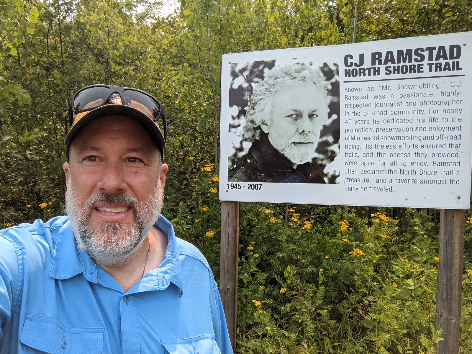
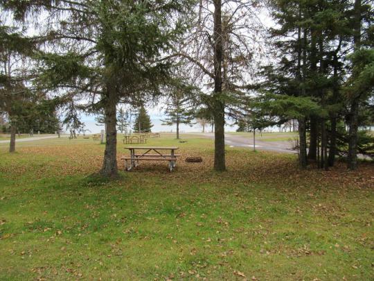
Location: Two Harbors
Location ; Burlington Bay Camp Site, Two Harbors
My shoes were covered on them. My tent was covered with them. As I hiked I discovered that they hang from trees on slimy snot webs. So gross.
Distance: 14.8
Distance: 12.3 miles
I set my alarm for 6:00 a.m., but went to bed as soon as it was dark. I woke up refreshed and ready to go at 5:20. There are so many things that are chores for thru-hiking that you take for granted when you have a place to live. You have to filter your instead of turning on a faucet. In my case, I need to charge my phone.
There is nothing left to do but wait. My kit is packed. My resupply boxes have been sent. Now all I can do is wait for the morning to come and I’ll hit the road.
Friday was resupply day. I shipped three boxes. One went USPS to the Two Harbors post office. I will be getting in on a Friday, so picking that up will be easy. Two were shipped via UPS. One to the very hiker friendly Claire Nelson Recreation Center in Finland, MN and one to the also very hiker friendly Sawtooth Outfitters in Tofte.
Food was pretty standard fare. I will have enough town stops to add calories if I do not have enough.
Saturday was getting everything together and packing it. The Lighterpack website is idea as a checklist to make sure I have everything. Once I was fully loaded, I put the pack on and walked down the block, wiggling as I went. I needed to adjust the internal frame as too much weight was on my tailbone. After some adjustments, it felt like an old friend giving me a hug.
That left today. Today was for honey-do’s.
Looking at the weather, it looks like some badly needed rain is coming, including some thunderstorms. That means the mosquitos will come to life, but that is a small price to pay. The drought has been bad and the land is in need of rain.
A storm has done some damage in and around Two Harbors. One report is that it took nearly four times as long to pass through one area. I’m not sure what that means. There were reports that some hikers were hiking with six liters of water due to the drought. There is still water roughly every ten miles, so that seems to be an over reaction. I will have the capacity to carry six, but I’ll never actually carry that much. In general I’ll have three liters max.
So, I’m just sitting here waiting. My heart is beating faster and honestly, I’m a bit nervous. It has been a while since I did this. Regardless, I’m ready to hit the trail.
Just as I finished publishing my ‘Plan B’ post, I received a phone call from the Burlington Bay campground. Someone has cancelled their reservation at a regular site. This new location is far away from the dump station, so it is not going to smell like crap! The only stink is going to be dirty piece of hiker trash. I rather like that smell. It is the smell of freedom with a touch of awesome!
This new site also has the advantage that is has some actual privacy. Personally, I don’t care that people might look at me like I’m some kind of animal in a zoo.
I cannot tell you the number of times people came up to me to take pictures with the old thru-hiker. As I was hiking down from Timberline Lodge in Oregon when I ran into these three older women. I stopped and talked with them for a bit. When I was just about to leave, one of the women asked if she could pet my beard. It was quite foggy that day and my beard was quite epic. I said, “sure”. She did and giggled. Not creepy at all I tell you.
I don’t expect any petting of the epic beard on this hike, but I’m sure there are going to be some epic stories when I’m done.
As I wrote about last time, this hike logistically is
proving to be more challenging than I expected.
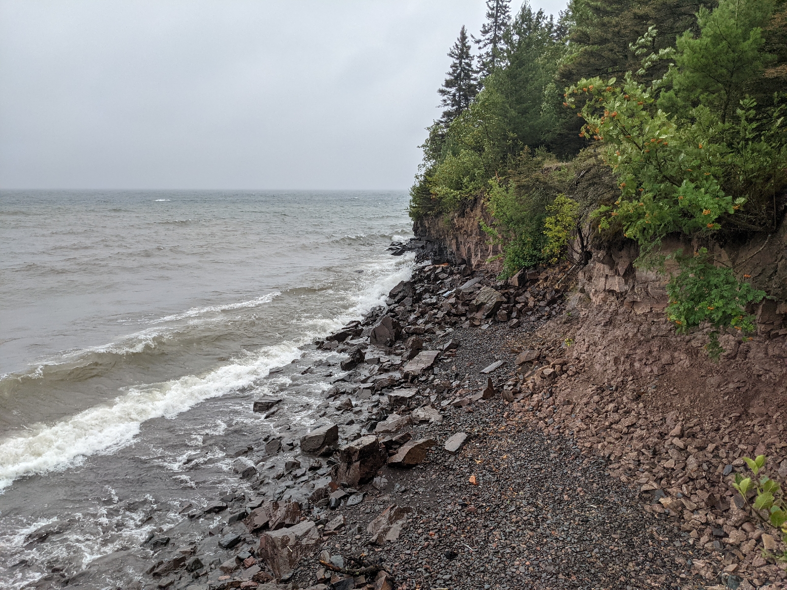
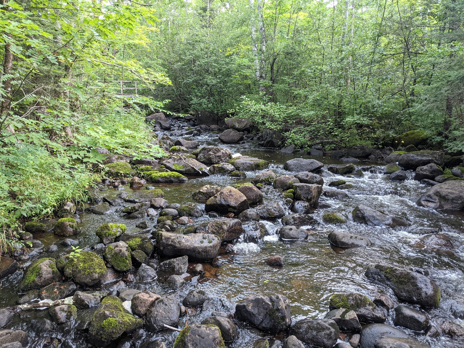
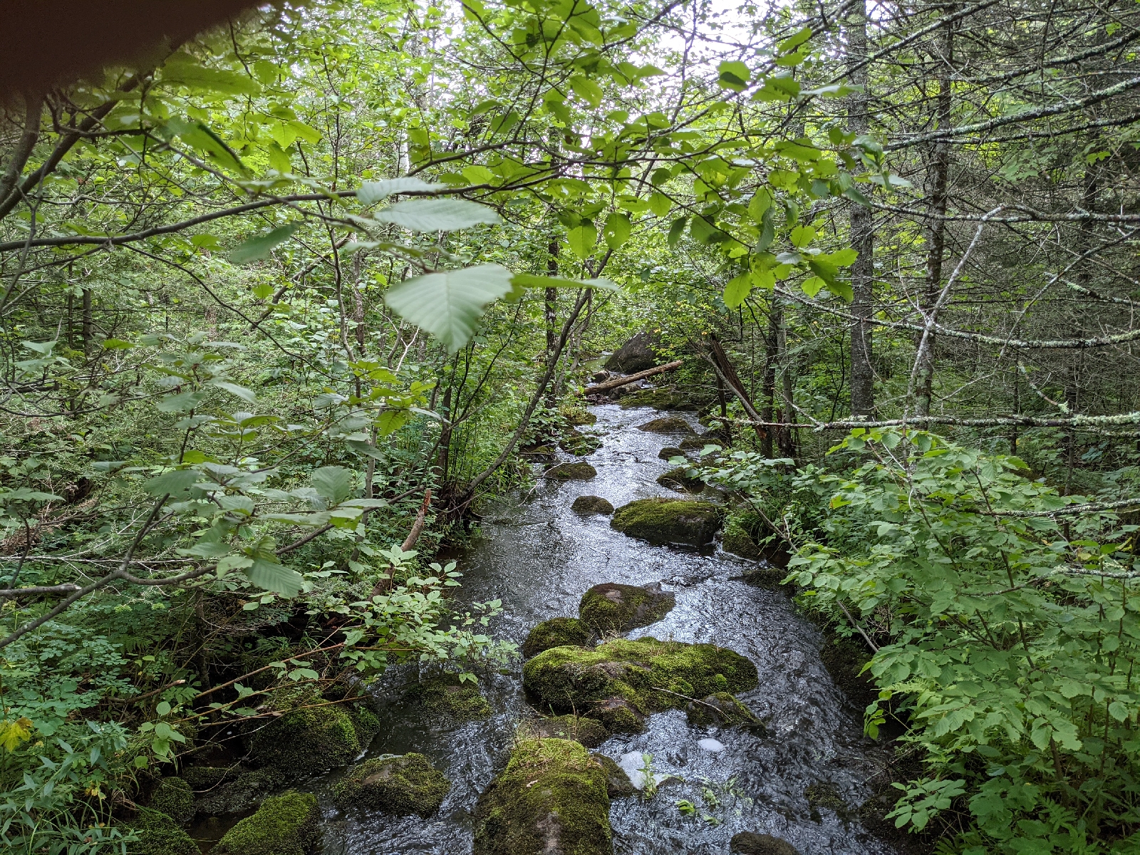
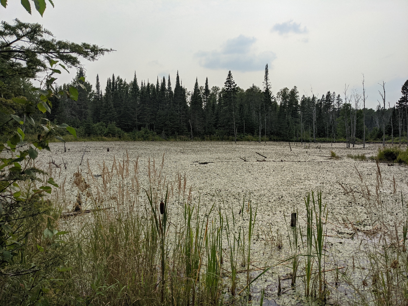
The biggest factor I need to deal with is the drought. Normally, finding water is not an issue on
the Superior Hiking Trail. At most, you
are carrying two liters for ten miles.
As the average rainfall for the area is six-to-eight inches less than
normal for the year, the distances to sure water sources are farther. That means carrying more.
On the Pacific Crest Trail there were areas where water was scarce. The desert of Southern California is obvious,
but Northern California also has some long water carries. There were two helpful guides to deal with
that. The Guthooks app was updated in
real time and was the primary source I used.
There is also a team that tracks reports and saves it on a spreadsheet
called the Pacific Crest Trail Water Report.
With these two sources, I was pretty confident of the water
situation. I also knew that I needed a
liter per five miles to start. At first,
I would carry a liter plus one per five miles.
After a while, I would chug a liter before I started hiking again and
that would cover the first five miles.
The Superior Hiking Trail doesn’t have a real time app
supporting it like Guthooks. There is no
team tracking the water situation. All I
have is a guidebook that says whether a source is normally reliable and some eyewitness
reports on the SHT Facebook page.
I can deal with this.
I have a list of the sure water sources, so I will hike from sure water
source to sure water source. That is
where I run into a problem with the very first section.
I will start the hike first by taking a bus down to
Duluth. I will then need to arrange transportation
to the Martin Road Trailhead. I expect
to start hiking at roughly noon. I can
only camp at designated campsites. The
first two sites with a sure water source are at 4.9 and 6.0 miles. The next campsite is at 11.6 miles; however,
it is dry. The next site with reliable
water is 19.4 miles in. I’m not going to
be able to hike 19.4 miles on my first day when I start at noon. So, my first day is going to be six miles.
Assuming I’m hiking 15 miles a day, that gets me to my first
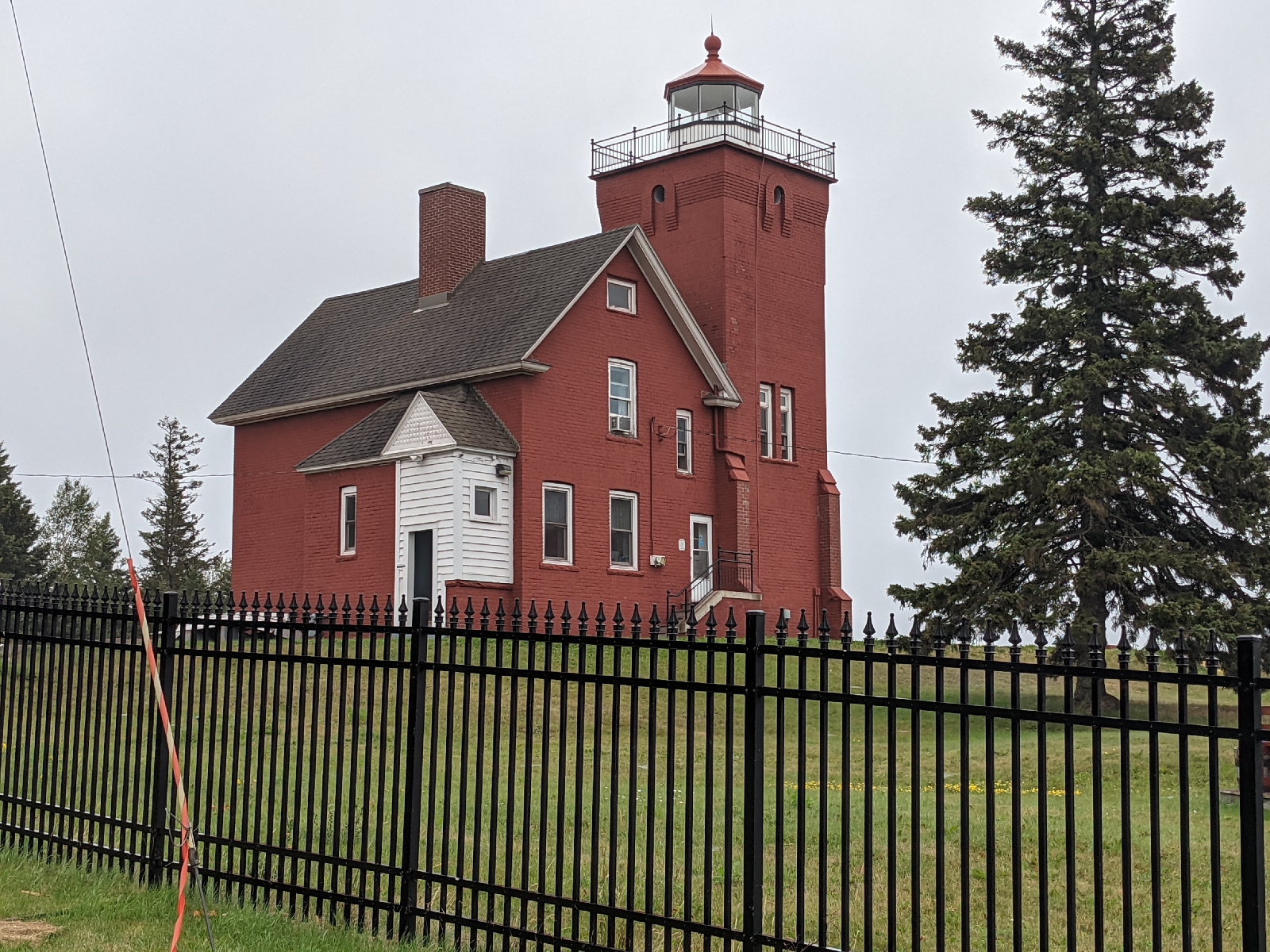
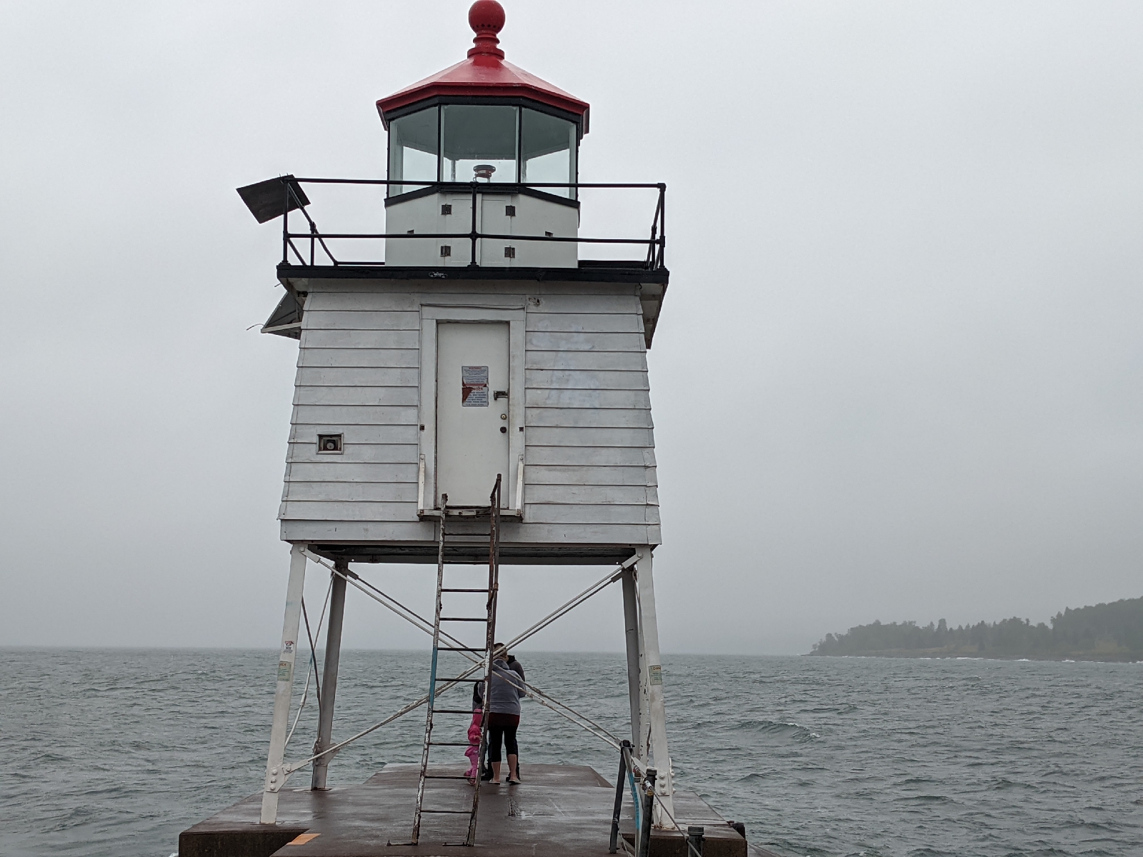
resupply point in Two Harbors on a Friday.
Two Harbors is six miles from the trail.
Hitchhiking is against the law in Minnesota. On top of that, everything is booked and has
been booked for some time. Ideally, I
will hike in early, resupply, shower, do some laundry, and make any adjustments. That is not possible.
If that wasn’t enough, there is a closure which is making this already unnecessarily complicated start even more complicated. Leaving Two Harbors is a five-mile road hike
and the next place to camp is roughly eight miles up trail. Doing that in a day is probably impossible when I have chores to do.
Put simply, there are no good way to navigate this speed bump. So, I posted a question on the SHT Facebook
page and surprisingly received no good answer.
As I always plan the crap out of every hike, I’ve been calculating distances in a spreadsheet. I’ve used Google Maps with the satellite mode on searching for water sources not in the guide book. No matter how I calculated it, the result was always shitty.
Today, on a whim, I decided to call the Burlington Bay campground which
is located in Two Harbors. I studied
their webpage hoping to find something for backpackers to no avail. Many campsites near a major hiking trail have a dedicated walk in site for backpackers. Alas, this one does not — at least at first glance.
They got back to me with an answer. They have one tiny campsite code named ‘Camp B’. It is in some trees near the office parking
lot. It is near the dump station, so it probably smells worse that I do when I get in. You cannot select it on the website, but it
is there.
Honestly, it is perfect. This changes everything. The math works. I take a leisure stroll towards Two Harbors. I make camp at Camp B. I take a shower. I do my laundry. I resupply. I get a large pizza and I have an easy day. The next day, clean, recharged and ready to go, I hit the trail again. It is a much better plan.
Fittingly, I’m calling this — Plan B.
The big topic this week on the Superior Hiking Trail is the dry conditions on trail. The Superior National Forest has banned campfires. A number of water sources are stagnet or completely dry. This has caused a widespread panic and a number of people on the page have announced that they are cancelling their plans for this year.
As a successful PCT hiker, I know a thing or two about hot, dry conditions and long water carries. Should I worry? No. I’ll make some adjustments. First, I will add another Smart Water Bottle, increasing my carrying capacity of three liters. I will also have a two liter bladder for a dirty water bag.
There is a hiker who just finished a thru-hike and it was a struggle for him. What I don’t know is how many miles they were hiking per day. I’ve sent him a message asking for a bit of a scouting report. Hopefully that will clear things up.
tHarriet has said that The rule of thumb is that if the water source says creek or pond, it is dry. If it is river or lake, it has water. I will camel up and carry more. No big deal.