Started: Tentsite (333.8) Ended: Swarthout (347.2) Total: 13.4 miles plus .8 Bonus miles Achievements: The Cajon Pass Micky-D’s
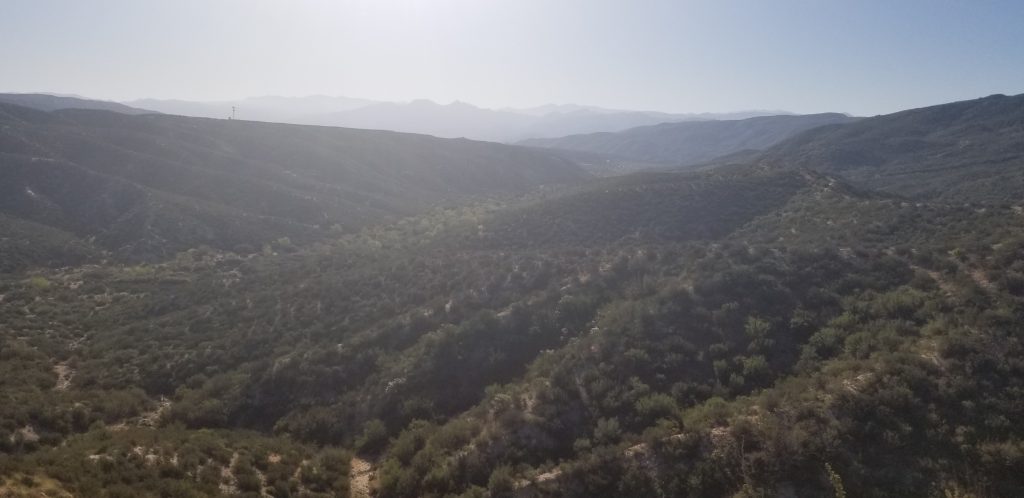
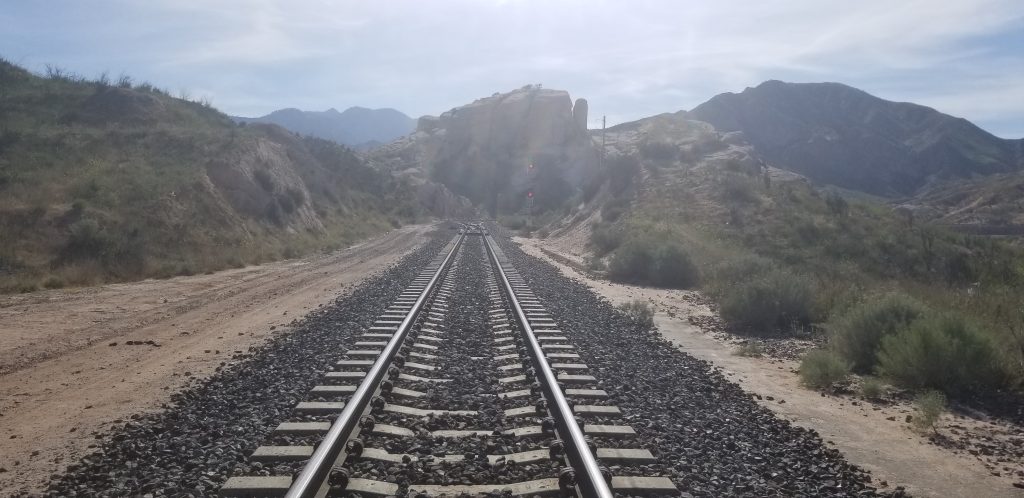
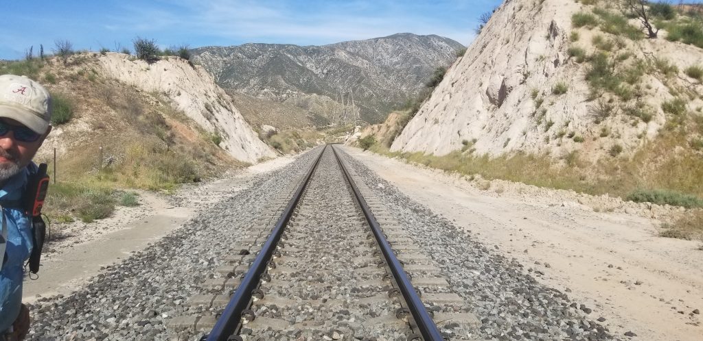
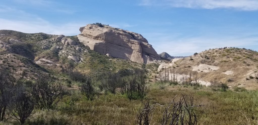
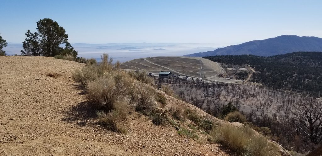
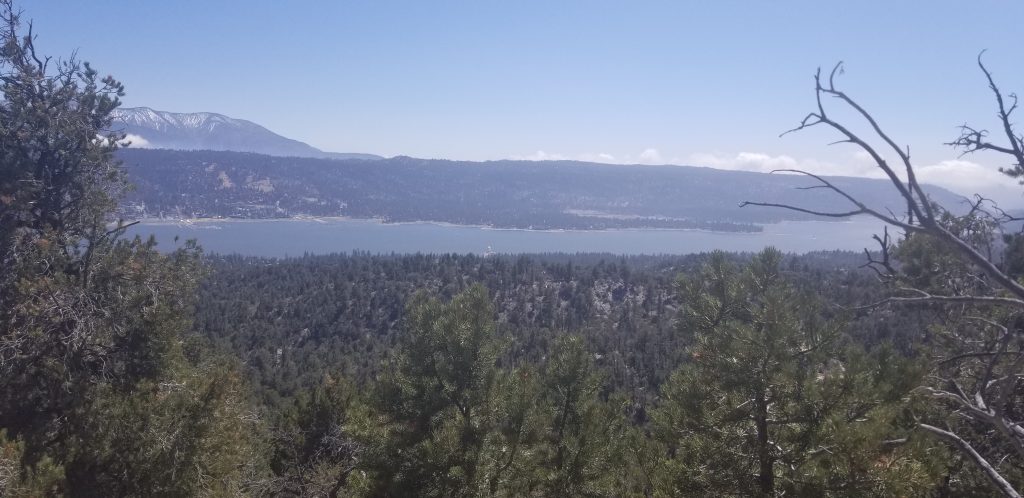
We woke up to a beautiful sunrise. Our immediate goal was to hike to the Cajon Pass McDonald’s. In that eight mile hike, we saw one of the most amazing panoramic views. If I wasn’t blogging off my phone, I’d edit the site so I could display large images. In the meantime, you’ll have to settle for this.
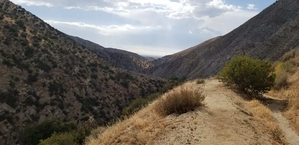
We has some amazing views along the way, even though it was hot.
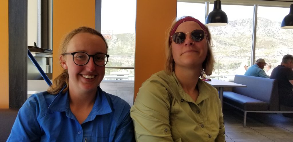
Eventually we reached a downhill run and to McDonald’s, right about lunch time!
There we ran into Napoleon and Dreamer. They are hey hiking team like Fish Tank and I. They met at Scout and Frodo’s and hiked together ever since. They remind me of an old married couple. They pick on each other. Napoleon is a trivia machine and it drives Dreamer crazy. What makes it truly interesting is that Dreamer is from Germany and Napoleon is Dutch. They are both speaking a second language to each other and making fun of the other’s accent.
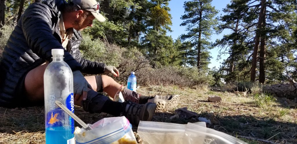
After yesterday’s long hike, both Fish Tank and Little John have sore feet. As it was hot, we hung around McDonald’s until it cooled off. We finished the day with a five mile hike to a water cache. It was a nice five miles.
It is going to be hot tomorrow and the hike brutal. We have 16.2 miles and 5,000 feet of incline to get to Wrightwood. I’ve directed everyone to eat all their heavy food tonight. Did I mention that it is a no water carry? This might the second worst hike day. We’ll see.
Started: Deep Creek (313.5) Ended: Tentsite (333.8) Distance: 20.3 miles. Achievements: Twenty Mile Day
We had a later start today. Camping with us was a young pre-med student who wrapped Chef’s foot with the hope that she could hike on. Chef told us to go and it wasn’t long before we were texted that they had left the trail. Our goal today was at least 15 miles with a stretch goal of 20. At a water source at Mile 318, there was a note in the sand that there was Trail magic at Mile 328. That is what you call hiker motivation.
When Fishtank caught up to me, I told him the news, and he asked how I knew and I was “It was written in the sand, it must be true!” Needless to say, he spent the entire day not believing me.
The three of us have come a long way since we started. It was hot, with many ups and downs, but we just muscled through, not really even tired at all.
We reached the trail magic at mile 328 about 2:30. It was put together by two former PCT hikers, Swiss Army Knife and Hee Haw. There was all you could eat hot dogs, chips, soda, beer, and Snickers bars. As this was the 15 mile mark for us, we could have stopped there, but we decided to continue to complete our quest of a 20 mile day. We are going to have to complete 20 mile days regularly if we hope to finish on time.
By 6:30 I found a single tent site for the three of us, and we are cowboy camping beneath the stars, victorious.
Tomorrow is going to be hotter and we have a long water carry to get past, so we will hike eight miles to McDonald’s, rest there for the most of the day, and hopefully complete a simple 15-mile day.
Started: Splinter’s Cabin (298.5) Ended: Deep Creek (313.5) Total: 15.0 miles.
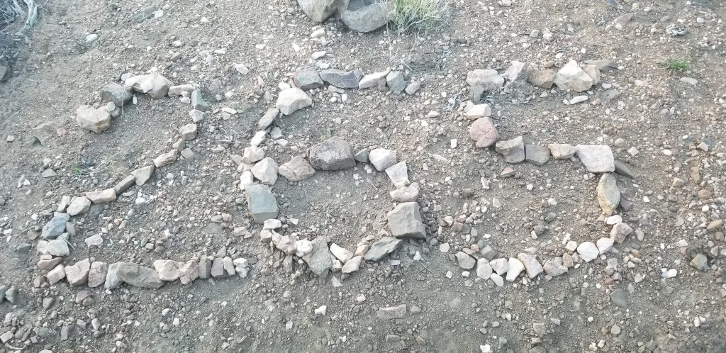
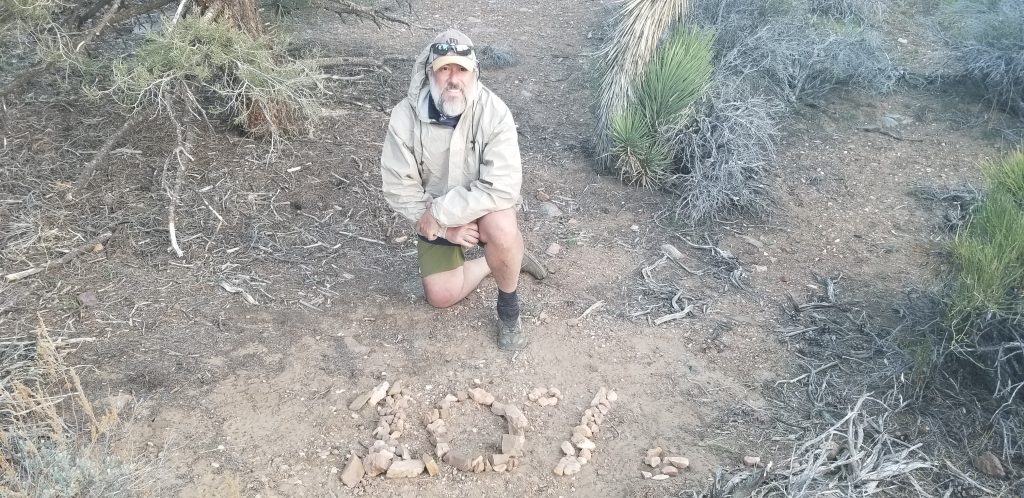
Achievements: 300 Miles, Rattlesnake Staredown (2), Primary Amoebic Meningoencewphalitis Can’t Hurt You When You Are Already Out of Your Mind
So, staying in a $15 a night condo with a hot tub was a very fine choice. The patio furniture on the deck was covered in ice. I am really glad that I did not sleep in that, especially without an air mattress. While it is nice to sleep in a bed and be warm, it is not the best way to get miles done. Our ride was able to get us to the trail by 9:30, so we had a late start. Scott also gave me an older air mattress. My guess it is from the 1990’s. It does not pack down at all, so it is on top of my backpack as I walk. This should get me by for a couple of days.
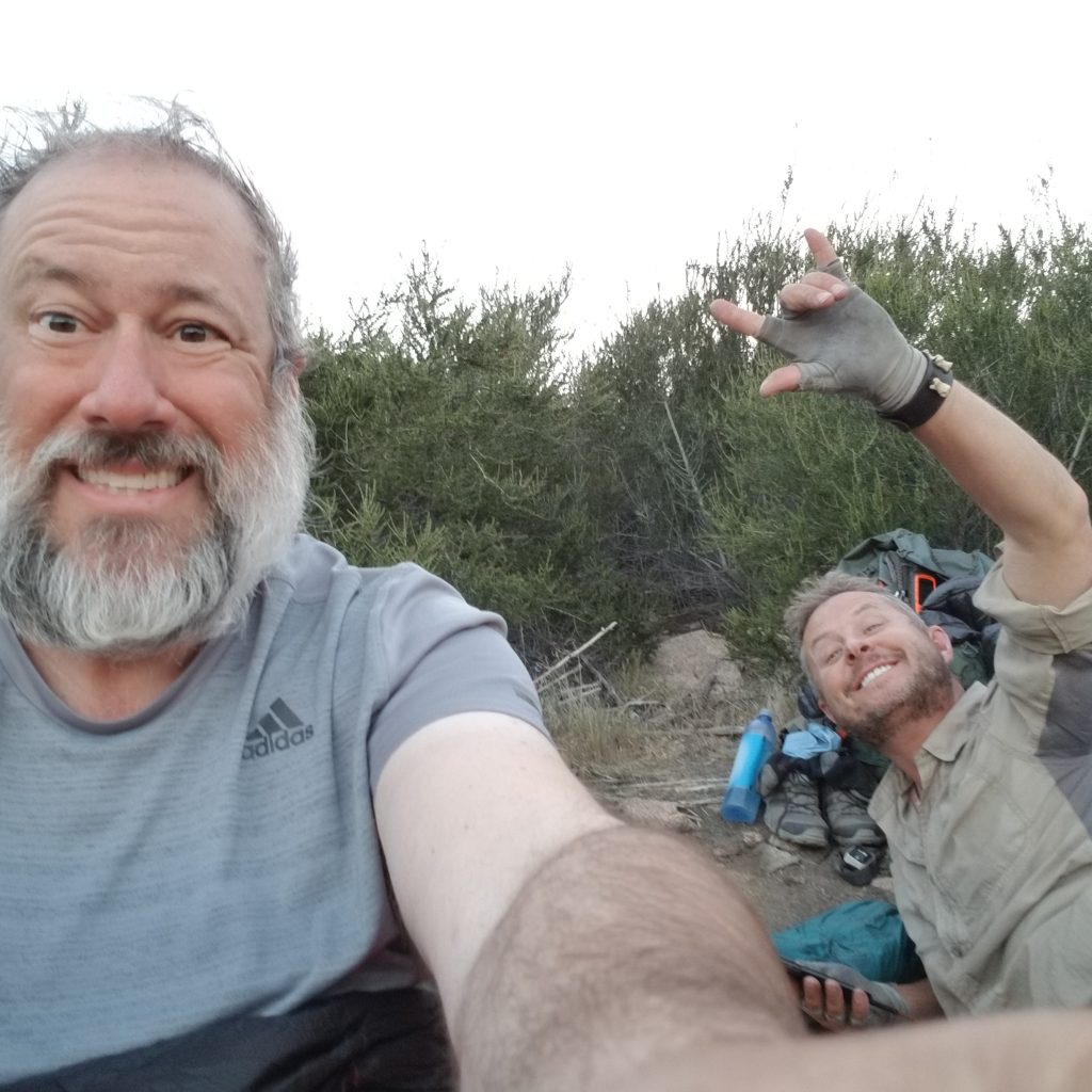
While I have discussed Fishtank and Little John, I have never mentioned the other two hiking with us, Chef and Feinschmeckei. The reason is simple, I could not spell Feinschmeckei. It is cool trail name. It means someone who likes the finer things in life. They are married couple hiking together. They were one of the reasons Fishtank and I hiked separate after Julian, because Chef and Feinschmeckei make me miss my wife.
As we started at 298.5, it did not take long to get to the 300 mile marker. However, in that short period of time, we nearly had two major injuries. I was point and Little John was right behind me. We we’re walking on a steep ridge and there were large bushes with branches overlapping the trail. I passed through without incident (for a change), but Little John lost his footing. He was struggling to recover, so I turned around and bent over to help him back up. While bending over, I watched one of my Smart Water bottles bounce down the hill.
I apologized for breaking a Leave No Trace principal, but it was not possible to recover it. This is the reason why we use Smart Water bottles. If you loose one, you are okay. My water is distributed.
Once we cleared out, we tried to find a high point so that we could warn the others. They did not come right away. It turns out that Chef tripped and heard something pop in her foot. She muscled through to the 300 mile marker so we could take pictures. Her ankle was swollen already. She told us to not wait for her, so Fishtank, Little John and I continued.
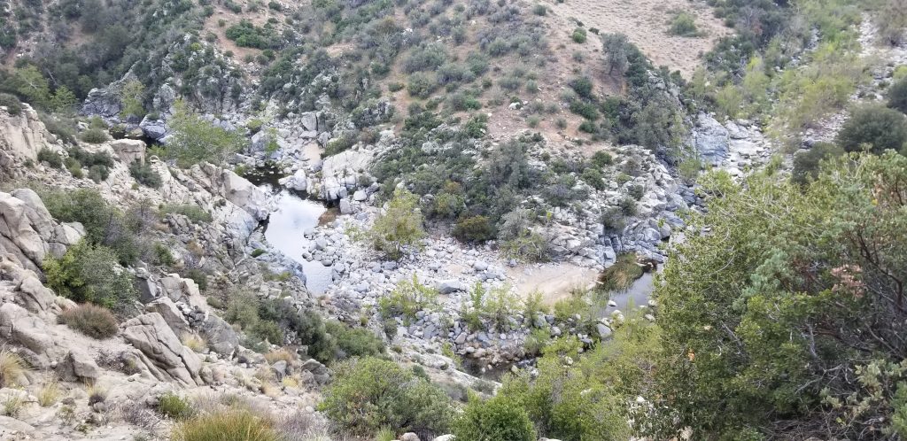
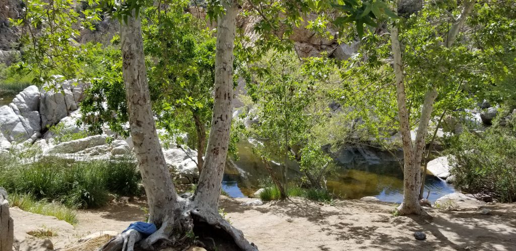
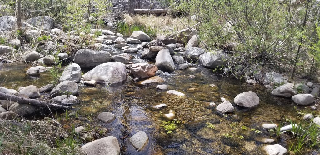
Our second milestone was the Hot Springs. There is plenty of strange things to see there. The water is hot and comforting, but there are some risks. Most hot, sweaty, completely unsanitary PCT hikers take a dip there. That and many just swim naked.
The PCT Water Report states that there is a brain eating amoeba in the water as well. Normally I would catch something like that, but the warning that you could die a slow and painful death was in the small print, not the normal flashing red on a yellow background like all the other things that could kill me on the trail. So, yeah, I relaxed in the hot springs. It was awesome.
The three of us hiked most of the day wondering what happened to Chef. Did they leave the trail? Did they continue? As we were in a canyon, we had no reception.
We eventually left the canyon and had reception again. We called and texted. We didn’t get a reply, and that was a not good sign.
A couple of miles before we stopped, once again I was surprised by a rattle snake on the trail obscured by a rock. This one was the largest yet. It hissed, started to strike, but I quickly flicked it with my trekking pole, flipping it well up into the air. Fishtank and Little John ran up to me to see if I was okay. They were freaking out, but I really didn’t think much about it.
Eventually, we reached a good campsite with water about 5:30. As we started to set up camp, Chef texted us. They were right behind us. She hiked 15 miles on a swollen foot. Amazing! Together we ate and joked before bed.
Tomorrow, we need to do some miles. We don’t want to run out of food again.
I woke up this morning and looked at the weather. A high in the mid-30’s and a low well below freezing. Our ride wasn’t able to return us to the trail until 11 a.m., so we were not in any rush. At breakfast I proposed that we remain in the condo until the weather improved. I’m from Wisconsin, and I don’t want to backpack in these conditions, especially in light weight gear. We are much better off staying warm and dry for $15 a night than struggling out in the cold and wet. The hot tub is nice as well.
We’ve been watching Facebook. People around us are hiding in bathrooms, calling for extraction from trail angels, and are miserable. One of the hikers I know who scaled Everest even called for an extraction, while we went to a theater to see the Avengers.
It is supposed to rain until 7 p.m. tomorrow, but it will be warmer. Then it will be in the mid-40’s. The day after will be sunny. The PCT is risky enough. There is no sense in compounding the danger when you have an option to wait a day.
My intent for this blog has been to keep it raw. I do not have anyone proof reading it. I write it at the end of the day, exhausted, sweaty, stinking and uncomfortable. I only have my phone, so I cannot edit or adjust photographs.
This is what hiking the trail is really like. There is a glamour to thru-hiking, but in reality, it is quite brutal. You make friends quickly, only to never see them again. Gear breaks and you just have to make do. Every step requires you to pay attention, but you can really hurt yourself. I find myself on a ridge inches from a 100 foot drop or more.
That being said, it is amazing. I can see the transfiguration in me after 300 miles. The way I look and feel is completely different than before I left. I am forced to make changes. All my senses have become acute. Despite the dangers, I feel calm.
So, I apologize if content isn’t perfect. I’m often too tired to fix it.
While I managed to get a good night of sleep yesterday with my makeshift bedding the night before, it did not work last night. I barely slept. In the middle of the night I tried to inflate my air mattress, but it didn’t even last five minutes. The patching kit is not designed to fix seams.
In the meantime, this is an opportunity to “Embrace The Suck!” This ain’t no trip to Disneyland. I’m hiking the Pacific Crest Trail.
Fortunately, there is a good outfitter in Wrightwood. I’m going to need some more R-Value as it is going to be cold.
We were on the trail by 6. As we were about to leave, Little John told me that Candice had camped next to him and left about 30 minutes ago. Candice, now called Mammoth, is the young woman who helped me out on day one with my leg cramps. As we needed to hike 19 miles so Scott, the trail angel we met in Big Bear, was going to host us, I decided to charge down the hill and catch up with her. She is young and fast, and she’s catching her stride. I might never see her again.
With Little John on my tail, I kicked it into overdrive. About two hours later, I caught up with her. We hiked together for a while and talked. She was as happy to see me as I was her, but she was not walking as briskly as she normally does. Honestly, I should not have been able to catch her so quickly.
She stopped to stretch and Little John and I advanced to a water source to filter and enjoy Second Breakfast. When she got to the water source she admitted that she has struggled with a pain in her hip, and she cannot lift that foot up without ever greater pain.
Chef, a hiker who had joined us, had some topical Vitamin-I for a similar injury. As I walked past Mammoth one last time, I could see the combination of pain and worry in her eyes. She helped me my first day. Now when she needs help, there is nothing I can do.
We hiked through terrain similar to areas I have struggled in the past. Hot, exposed, and thick sand, but the combination of hiker legs, better nutrition, and the promise of a hamburger and milkshake at the end made short work of the miles.
Scott picked us up. After we ate, he took us to a condo. We showered and spent a good hour in the clubhouse hot tub. The pullout bed was much more comfortable than a popped air mattress.
We will sleep in tomorrow and leave for the trail about 11.
Started: Big Bear Lake (266.0) Ended: Stealth Camp (280.0) Total: 14.0 Trail Miles, 5 Alternate Miles
I woke up in the middle of the night with my butt on the ground. My air mattress was no longer inflated. I had some issues with it before, but I assumed it had to do with the low temperatures at night. It was dark, so I couldn’t determine where the leak is.
I used my backpack as a temporary mattress with my camp seat for my hips. I finally fell asleep and woke up fine. I guess I’m sleeping on the ground for the next hitch.
We had a long no water carry of 17 miles. It also included an alternative trail avoiding a burnout area where arsenic has been found in the soil. The alternative trail was quite terrible to climb. It was designed for off road vehicles and consisted of rocks and other rubble. Little John has done a much better job and his morale has improved!
Once we completed the alternative trail the main trail was quite pleasant. We moved quickly, had nice breaks, and wonderful views.
We wanted to walk at least 15 miles today, however we ran into a really beautiful campsite. While our goal is to get to Canada, sometimes you just have to stop and smell the roses.
Little John, Fishtank, and I had a wonderful dinner, told jokes, and had time to get some chores done.
My chore was the find the hole in my air mattress. After blowing it up, twisting it, and listening (which is hard to do when the wind is blowing), I found the leak. It is in the seam. It is a critical failure. I use my patch kit to try to fix it, but I don’t expect it to work. In the meantime, I am borrowing a mattress. I can buy a new one in Wrightwood.
Candace, now named Mammoth camped with us later.
Tomorrow looks to be a pleasant day. The trail is almost all downhill. So we’re going to aim for 19 miles.
Started: Big Bear Lake (250.0) Ended: Big Bear Lake (266.0) Total: 16 miles.
I could not sleep last night. I longed to be back on the trail. The hotel was too quiet, even with the fan on. There was no sound of blowing wind. There was no sound of nature. The vortex of Big Bear Lake, as nice as it was, was not strong enough to trap me in town.
Our ride picked us up at 10 a.m. and our goal was to advance 16 miles to the point where most people reach Big Bear Lake. My pack was heavy with seven days of food, but I only needed to carry two liters of water.
Little John followed closely behind me. The first interesting location was a small zoo where animals are trained for Hollywood. I walked point, like I usually do, setting the pace. Somehow I missed the trail as it came of a short road hike, so we missed the zoo. Alas, I have no cool pictures of tigers and bears.
I told Little John that it is tradition in my family that when one is walking point and looses the trail, everyone else can ridicule them until they find the way back. Little John refused to pick on me.
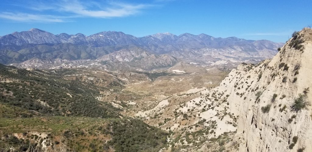
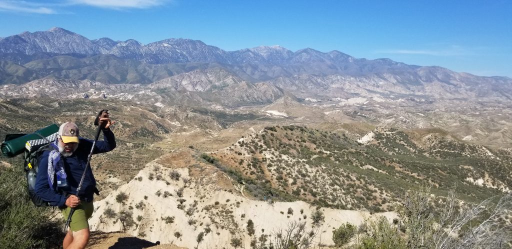
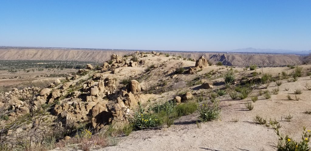
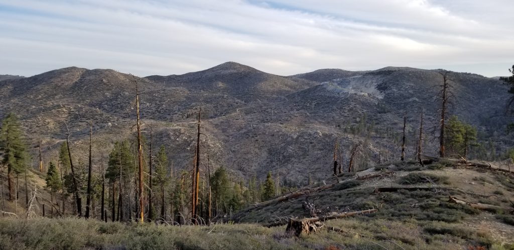
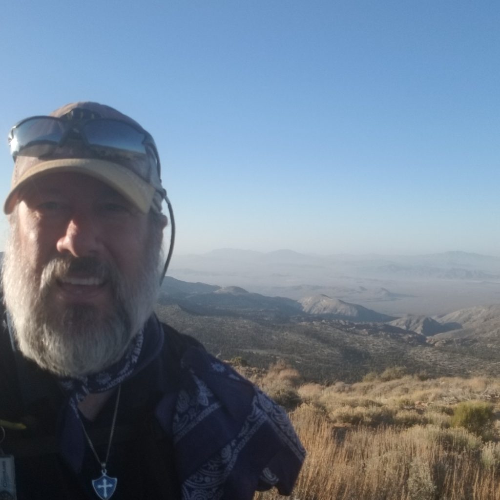
Both the weather and the trail were nearly ideal for me, so we advanced quickly. As we reached the end, the trail opened, and we had one of the most amazing views yet!
We also reached the 10% completed point.
I will be much easier to sleep tonight. I’m exhausted. The wind is blowing hard and cold, but my sleeping quilt is nice and warm. I’m wearing all my clothes to stay warm. As we arrived late, we are going to “sleep in” until 6 a.m.
Fishtank, Little John, and I met in the hotel lobby at 8 a.m. to catch the bus into town so that we could begin the process of resupply. Before we began we ate at a local restaurant and I had a massive breakfast. Without a doubt I will eat about 10,000 calories before I leave.
During the breakfast I exclaimed that I am overjoyed that I burnt out hiking to Big Bear Lake, because I now know how far I can push, and what I need to do to make sure that never happens again. Looking in the mirror, I’ve lost at least 15 to 20 pounds since I’ve started and that is one base weight.
The plan is to return to mile to 250 and hike the portion that we missed. It takes the average hiker five days to get from Big Bear Lake to Wrightwood, so we will take six days of food to cover the missed portion, and we now have additional reserves to make sure that we never run out on trail again. Mashed potatoes are light.
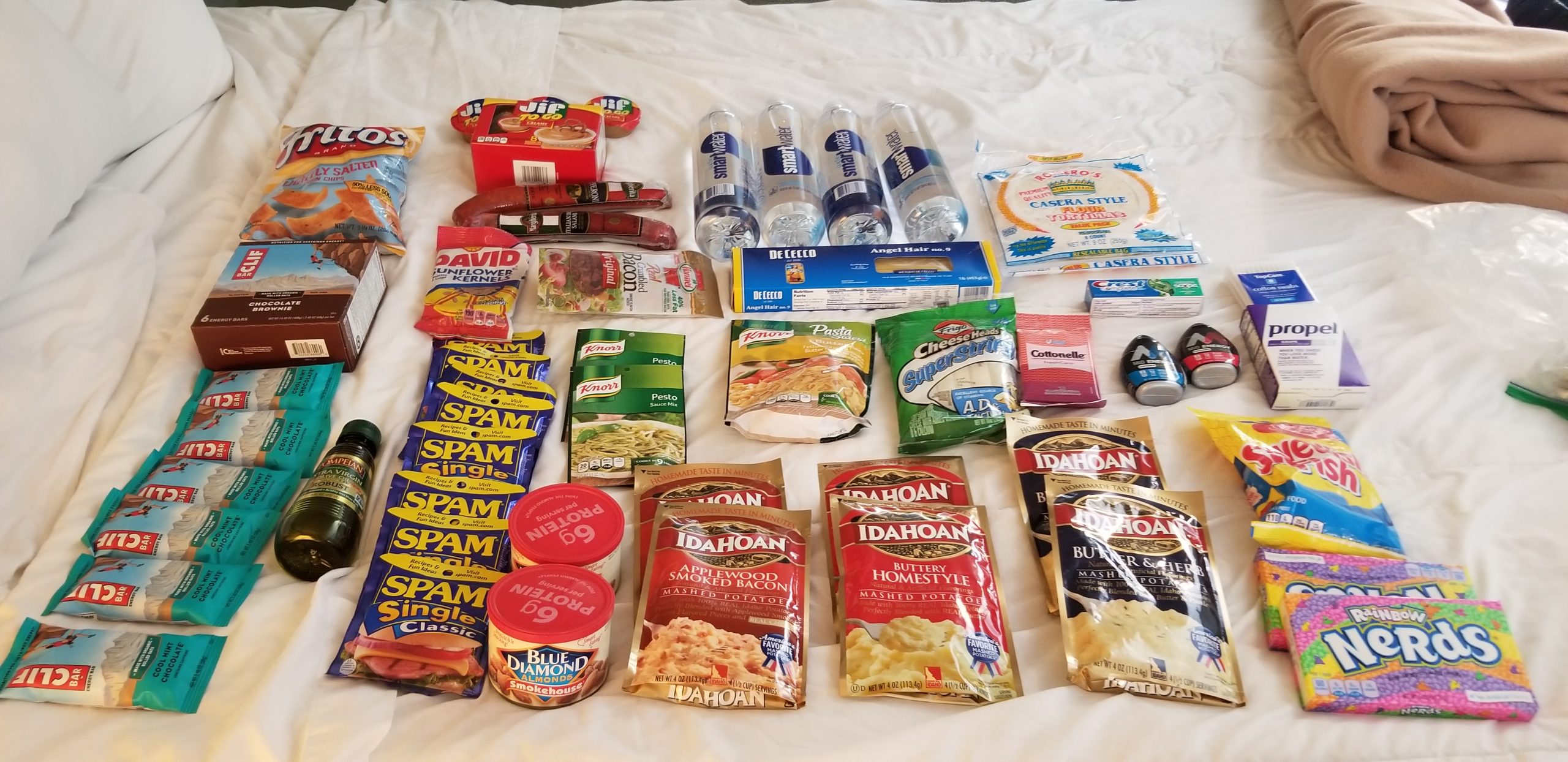
What I bought…
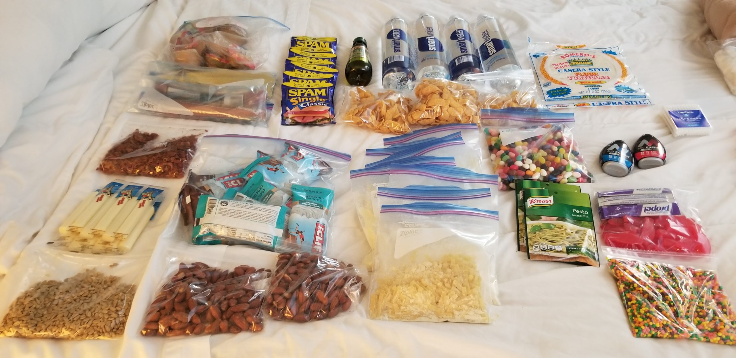
After condensing it.
I am eating a combination of complex starches, protein, fat and good old-fashioned candy to get me over the hills. I will be cooking more and adding olive oil for additional fat and calories. While it is my intention to come back in my 20 year old body I don’t need to do it in the next month. Yes, this isn’t the healthiest food in the world, but it has a ton of calories, and that is what I need. There is a McDonald’s along the way as well.
When I trained for this hike I changed my diet focused more on losing weight. Now I need to focus in on completing the hike. That means more calories and more in the form of fat.
After we bought everything we returned to my room and broke it down into smaller portions for easier transport. We then went to Little John’s room and began the shakedown process.
In the end Little John’s pack is now a solid 9 lb lighter! Fishtank sent home another 4 pounds of gear. I’ve eliminated half a pound. We went to the post office and sent it all home.
We then took Little John to Big 5 Sporting Goods and help him purchase some of the equipment that he was missing, so now he has the proper amount of water capacity for the longer hikes without easy water supply. Little John was thinking of leaving the trail here, but he is now inspired, and he’s a better position to be successful.
I purchased a set of Frogg Toggs to replace my now broken outer shell. While some hikers swear that they are the ideal combination of water proof and cheapness, they seem mostly cheap for me. I wasn’t able to find a jacket I liked.
So with my pack ready to go, there is nothing left to do but chill and eat a pint of well-deserved Ben & Jerry’s Cherry Garcia.
The thru-hiking diet. Eat all you want. Lose a lot of weight.